![]()
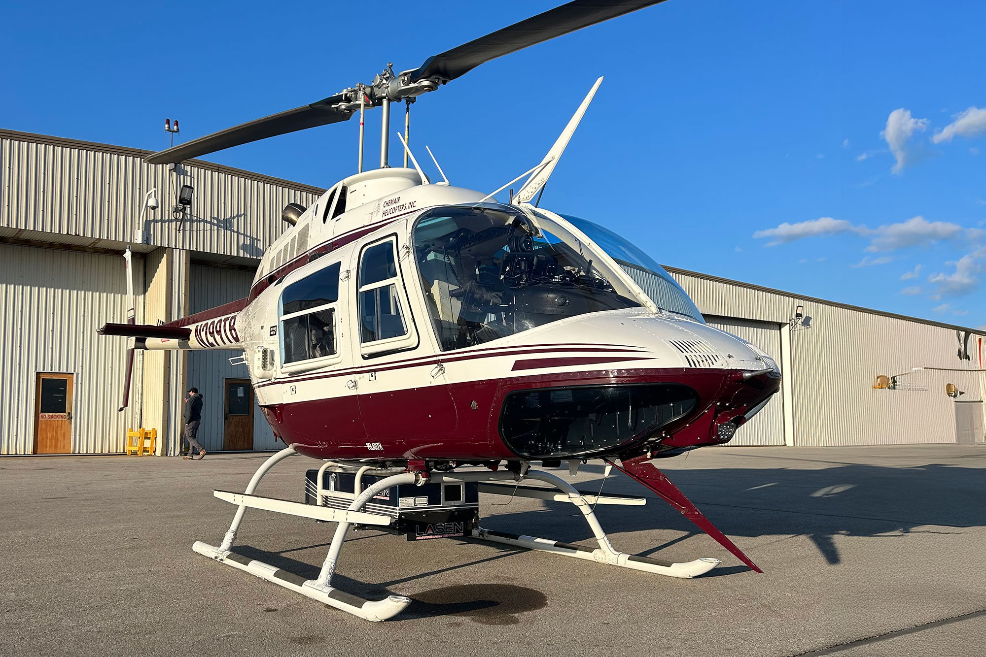
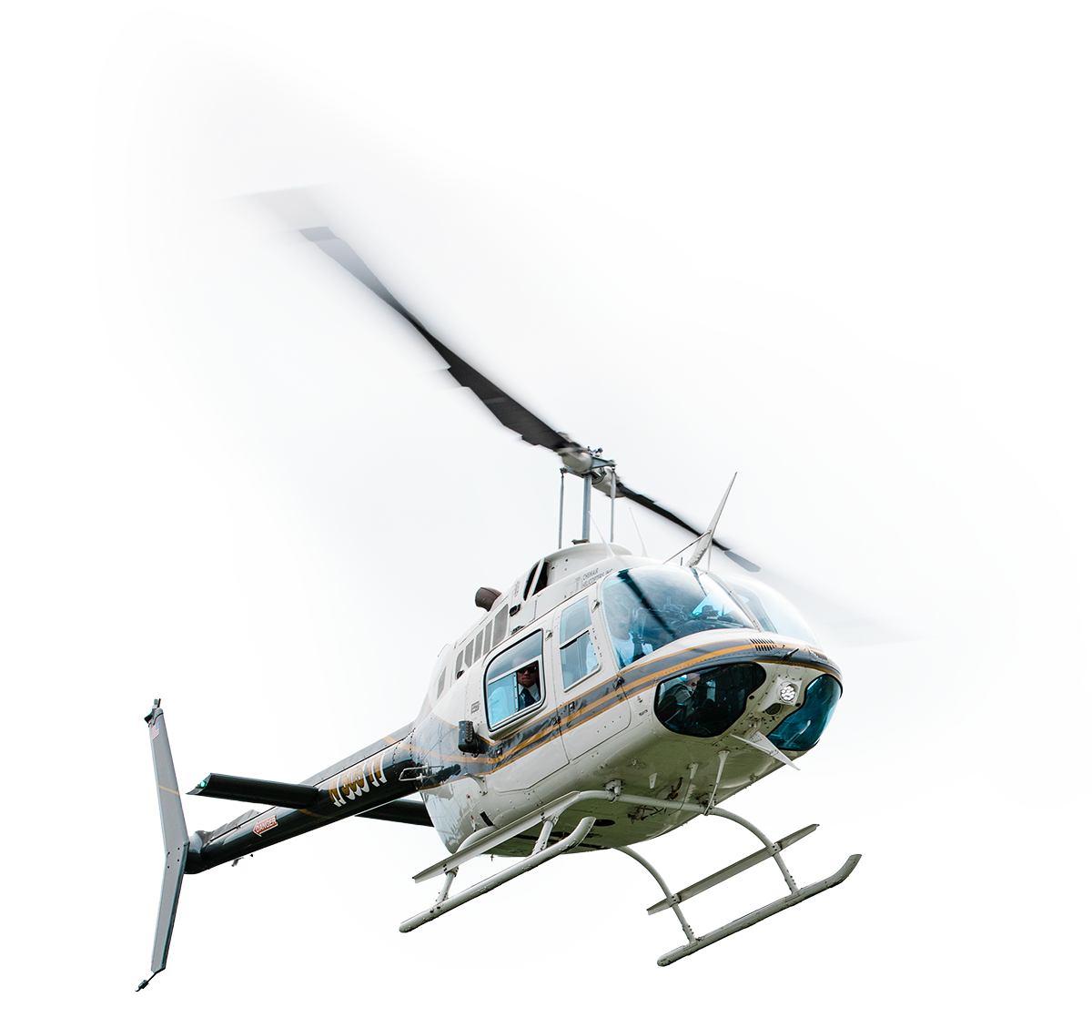
LiDAR & Aerial Surveying
Our helicopters provide a stable platform for gathering high-resolution data over large or hard-to-reach areas. All installation work is FAA approved. Chemair is equipped to provide a chase fuel-service support vehicle for helicopter work, as jet fuel is not readily available in remote locations.